


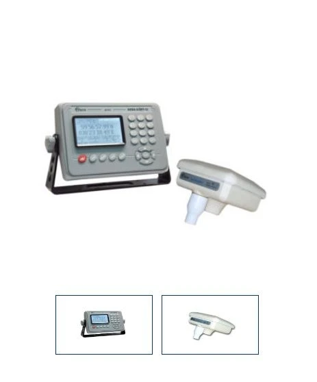
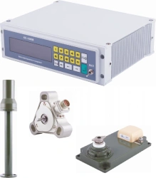
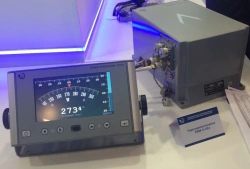
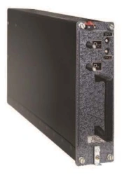
NAP "AQUA-BORT-12" operates on the signals of satellite systems GLONASS, GPS WAAS and EGNOS and signals of medium-wave marine beacons, transmitting correction information in the format RTCM SC-104.
NAP AQUA-BORT-12 solves the following tasks:
- Determination of geodetic coordinates of the vessel
- Determination of travelling speed vector (heading angle, heading speed)
- Determination of time in UTC (SU) and UTC (US) scales.
- Provides reception of satellite signals with elevation angles from five degrees above the horizon.
- Entry and storage of up to 1000 waypoints.
- Input and storage of up to 20 routes or fairways (up to 50 points in each route).
- Calculation (by loxodromy and orthodromy):
- time of arrival of the vessel at a point with given coordinates at a given speed;
- distance and direction between two waypoints;
- parameters of deviation from the set route.
- Sound and visual signalling:
- on the approach at a given distance to the waypoint;
- about...


Tell us what you need and get quotes from verified suppliers