


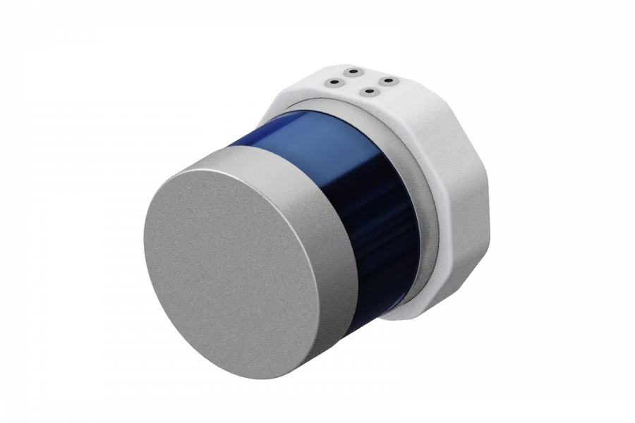
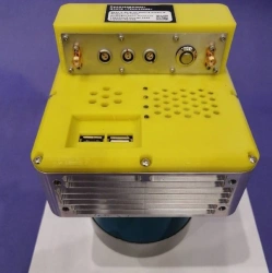
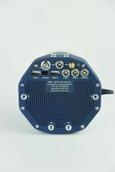
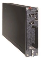
A software and hardware system for affordable and efficient high-precision aerial laser scanning from unmanned aircraft.
Low weight and overall compactness of the scanning system make the device as cross-platform as possible, allowing, depending on the tasks at hand, to install it on various aircraft, including aircraft-type UAVs.
The possibility of integrating an external camera, both visible and multispectral, further expands the application area. The main areas of lidar use are:
' engineering surveys;
' cadastre;
' three-dimensional modelling;
' GIS creation for various purposes;
' monitoring;
' analytics and many others.


Tell us what you need and get quotes from verified suppliers