


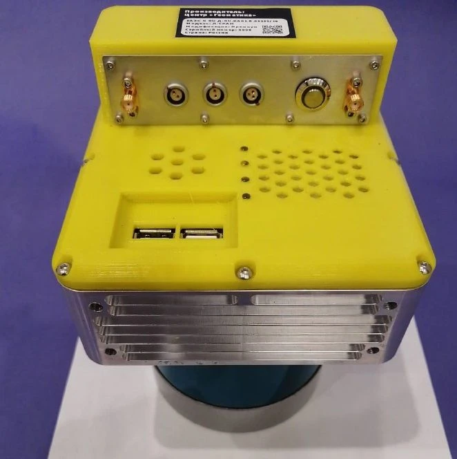
Systems of high-precision three-dimensional scanning L-SCAN on the basis of multichannel lidar solve a wide range of applied tasks. L-SCAN system is designed for topographic surveys of the relief of the earth's surface and urban environment, open pits in mining with volume estimation, in construction, forestry, agriculture, archeology, environmental protection, hydrographic survey.
Principle of action:
The pulse of a directed laser beam is reflected from opaque surfaces, returned to the source and captured by a light-sensitive semiconductor device. The response time determined by the lidar is directly proportional to the distance to the opaque reflecting surfaces. Since the propagation speed of the pulse is equal to the speed of light 300000 km/hour, the distance is calculated as the product of the response time by the speed of light divided by 2 because of the double path of the pulse...


أخبرنا بما تحتاجه واحصل على عروض أسعار من موردين موثوقين